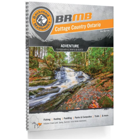
Covering the idyllic cottage destinations of the Muskoka and Kawartha areas, the natural splendor of Algonquin Provincial Park, the bustling National Capital Area and all the way up to North Bay on Lake Nipissing in the north, this Mapbook is your ultimate guide to one of the country’s most popular outdoor recreation destinations. Known as the heart of Ontario’s outdoors, Cottage Country is home to thousands of scenic lakes and rivers, vibrant forests and rugged and rocky Canadian Shield. Algonquin Park, in particular, is one of the world’s most popular canoeing destinations, attracting people from far and wide to paddle, camp and fish among its iconic natural beauty.
To help you make the most of your time while exploring Cottage Country, this book includes motorized and multi-use trails, clearly labelled Crown and private land, labelled fish species on the maps and charts for both fish stocking and long-distance multi-use trails. Of course, you will also find all the classic features that make Backroad Mapbooks so popular among outdoor explorers, including our industry-leading topographic relief and shading, unparalleled road and trail coverage, detailed Adventure listings and much more.
-
Topographic Maps
Featuring 106 detailed topographic maps complete with labeled campsites, amenities, highways, backcountry roads, trails and other points-of-interest, this durable, heavy-duty Mapbook represents the leading industry standard for cartographic sophistication, unparalleled even by government sources. Maps are shown at a scale of 1:150,000 and include Crown land as well as the addition of labelled fish species for lakes and rivers.
-
Service Directory
In addition to our maps, we list Cottage Country accommodations, services, tours and amenities, including information on the top outfitters in Cottage Country and Eastern Ontario. We also list where to find hunting and sportfishing equipment.
-
Index
Our handy index is divided into Map and Adventure sections to make it even easier to use. You’ll find page numbers and map coordinates to help locate cities and towns, parks, lakes and rivers along with each listed Adventure activity. There is also a section for important numbers and an advertiser list for easy referencing.
Released: 2019
Dimensions: 21.5cm x 28cm (8.5" x 11")
Map Scale: 106 maps @ 1:150,000
Map Features: Attractions, ATVing, Camping, Fishing, Hiking, Hunting, Paddling, Skiing, Snowmobiling, Hydrology, logging and industry roads
Areas Covered: Bancroft, Barrie, Barry’s Bay, Belleville, Brockville, Cornwall, French River, Haliburton, Huntsville, Kingston, Minden, North Bay, Ottawa, Parry Sound, Pembroke, Peterborough, Perth, Petawawa, Renfrew, Toronto, Trenton, & more